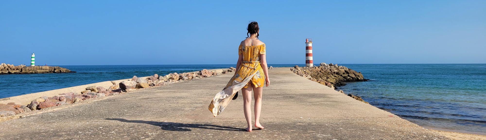

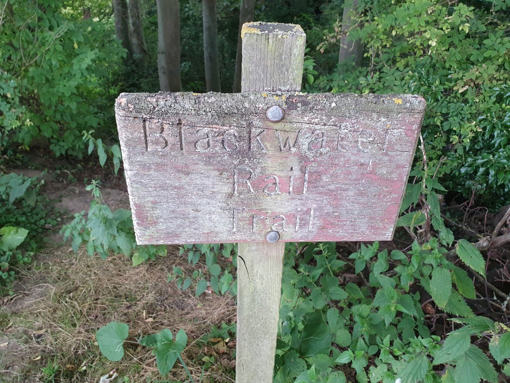
I learnt about the Blackwater Trail in one of our first Geocaching expeditions: a quick 4-cache trail along what used to be the railway line from Witham to Maldon. As I’m a bit of a train nerd, I wanted to walk this trail ever since. Unfortunately, due to it’s length (about 12 kilometres), Tayla was not up for it. Enter a few months of long Geocaching walks, and Tayla finally felt like this wouldn’t be such an ordeal. As such, we would wait for a golden opportunity where our work schedules, weather, and desire to Geocache finally combined in the golden ratio for us to set out. That day would come on the 16th of August.
We set off along the aforementioned section of the trail that’s still within the bound of Witham, and picked up the only cache we had missed from the trail when we attempted it the first time round. After the short walk, and some navigation app-caused confusion, we reached the Benton Hall Golf Course.
After some apprehension regarding the legality of crossing a golf course, we decided to trust the app, and walk straight through. At this point, I almost wanted to turn back, as it had started to rain. In the end though, Tayla’s stubbornness won out and we carried on. Whilst I was fairly calm the whole way through, I could see Tayla’s nervousness and anxiety about ‘getting caught’ every step of the way. That is until, we reached a post with the magical yellow arrow of a public footpath. We were not trespassing after all!
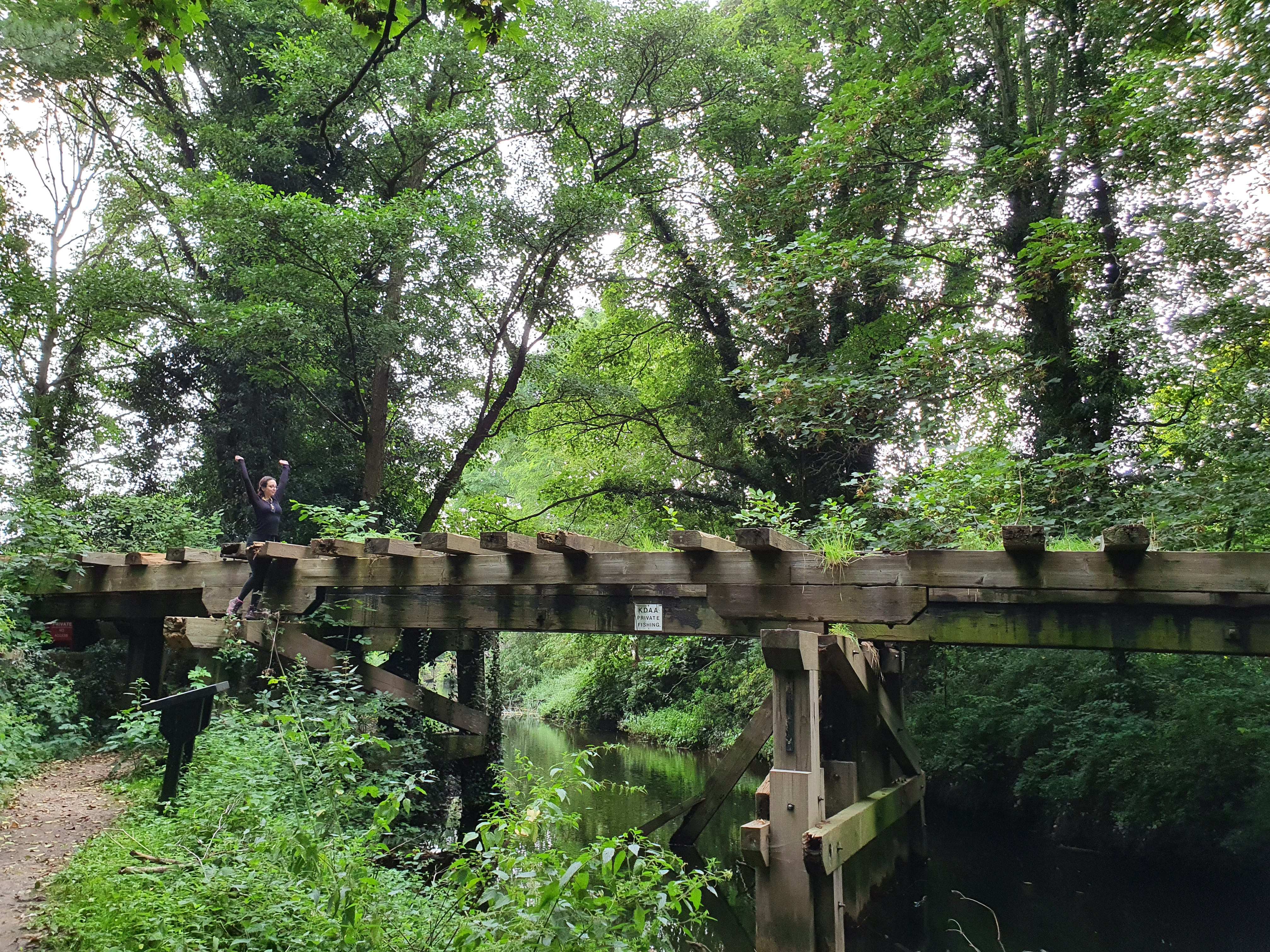
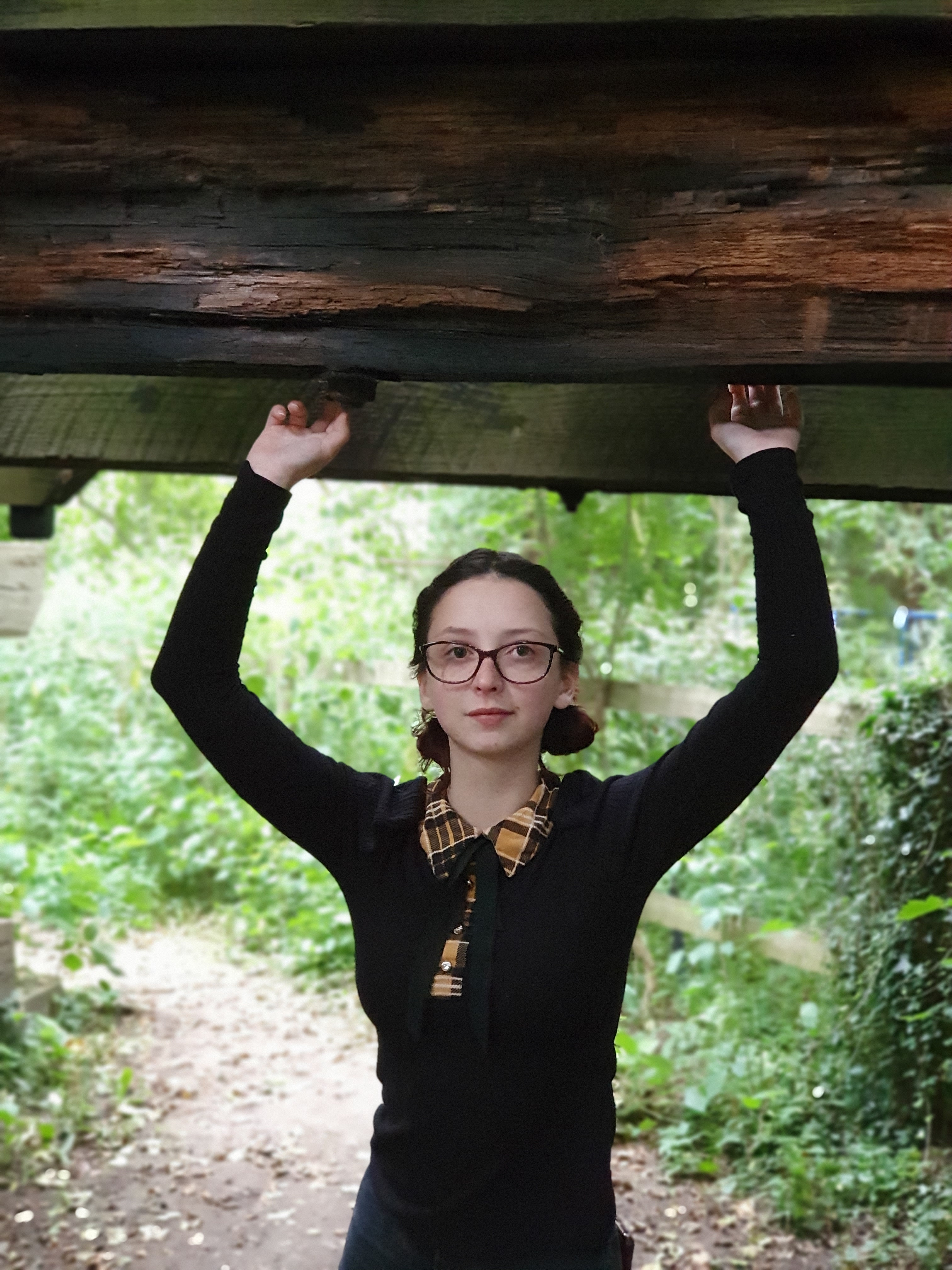
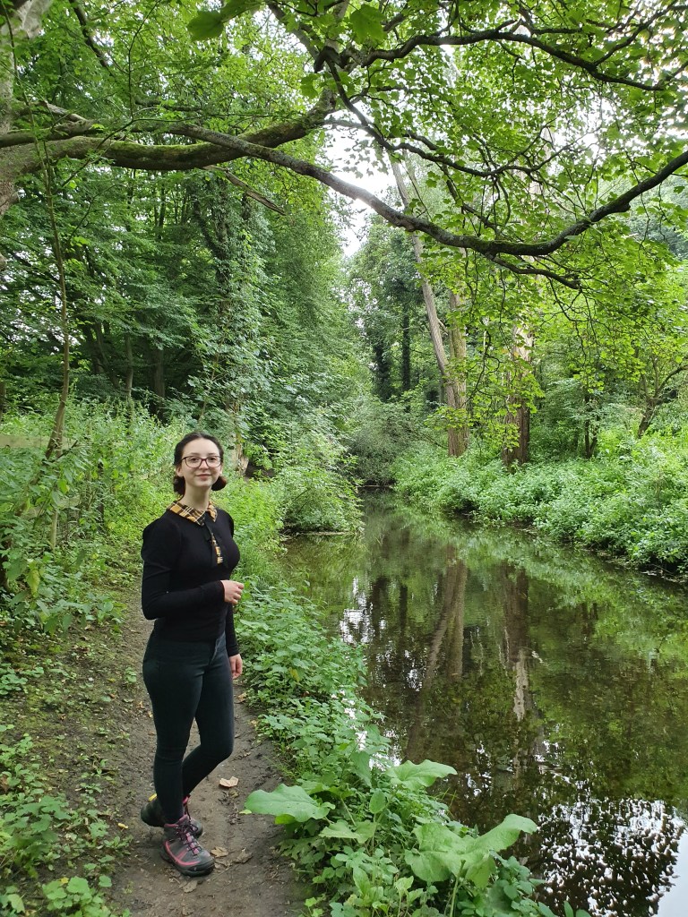
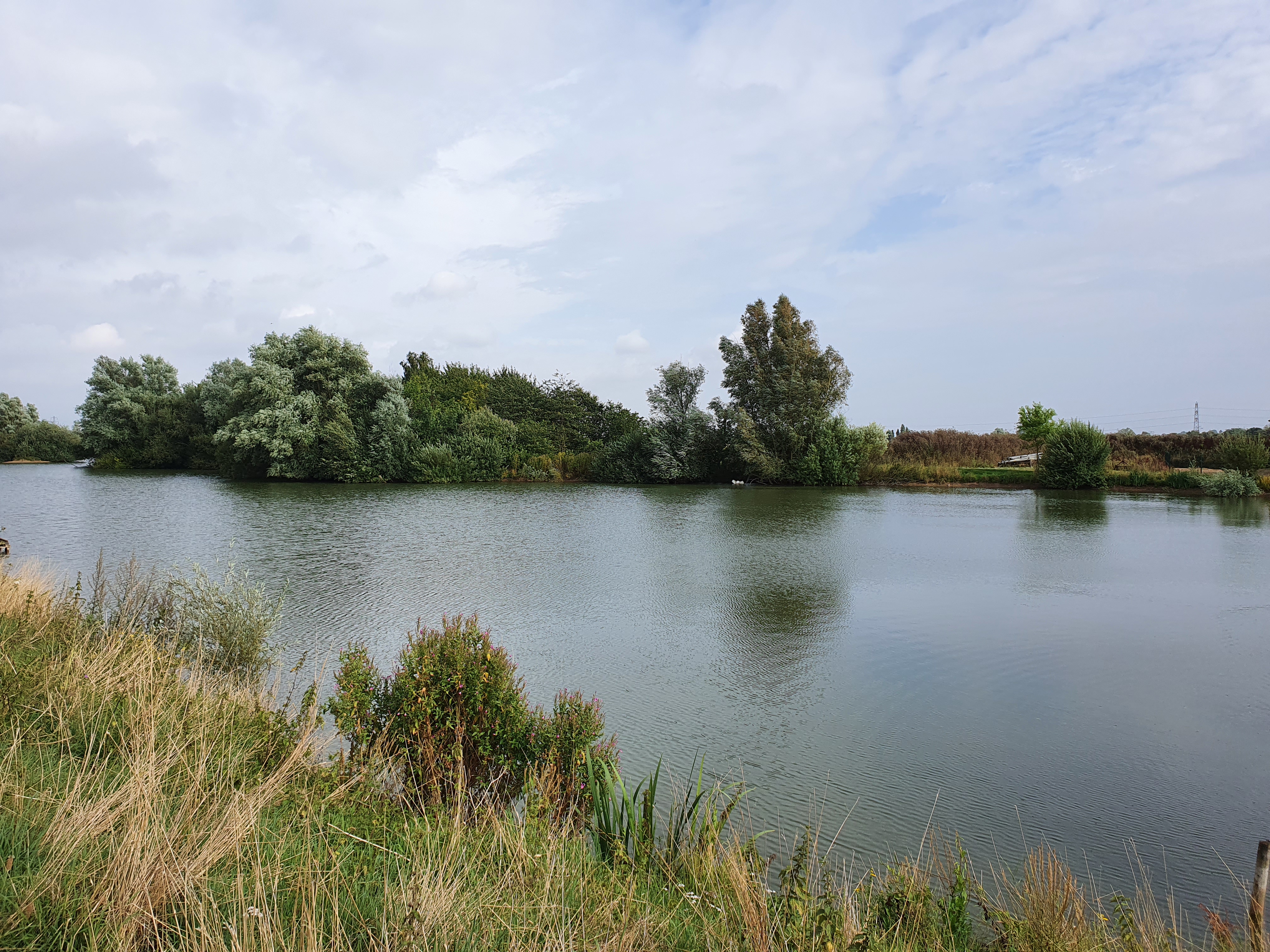
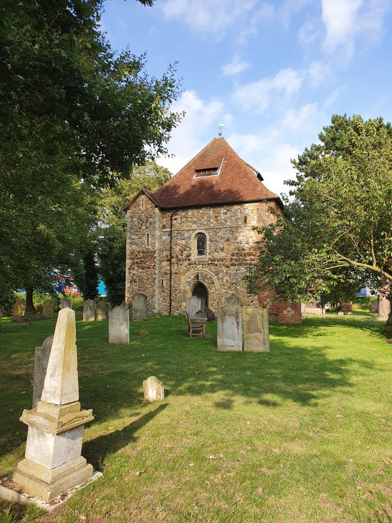
We followed this footpath along the river Blackwater, until we came across our first sign of the disused railway: a viaduct crossing the river. Promptly ignoring the signage, Tayla climbed on top and we took a few pictures. It seemed sturdy enough! After this little diversion, we kept walking, until we reached the outskirts of Wickham Bishops, where we took a little diversion to take a look at St Peter’s Church – which is no longer used for it’s intended purpose.
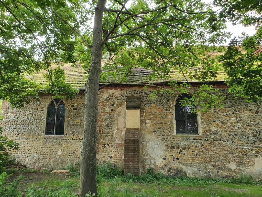
Nowadays, the Church, though still consecrated, serves as a studio for a local stained glass artist. Unfortunately, as it seems he wasn’t in, we could only take a look at the stained glass from the outside. Following this little diversion, we finally found our target: the full Blackwater Trail, that had been previously cut short by a perfidious golf course!
I quickly climbed down the steep ledge, to find the closest thing to impassable jungle that you can find on Great Britain. Trees and bushes had completely overgrown the former railway track. We briefly considered pioneering our way through the bush, but then a Columbian idea struck us, and we decided to go around.
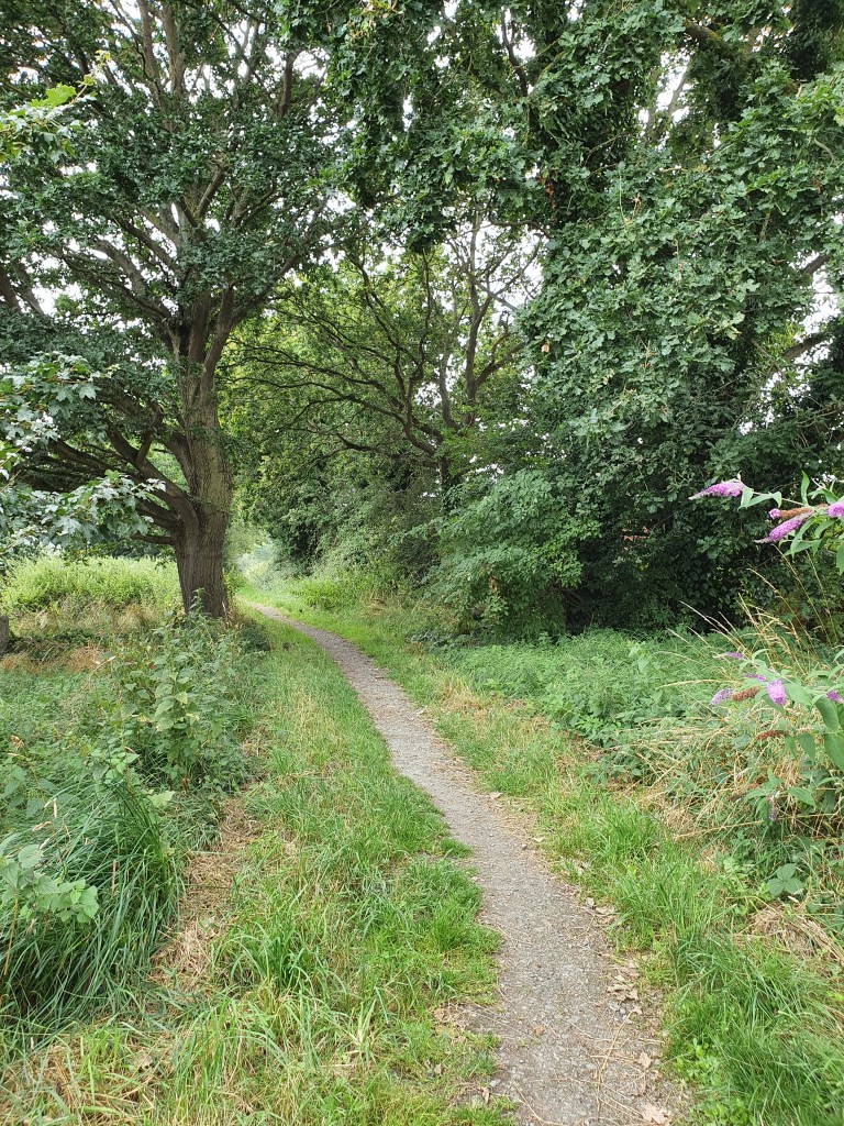
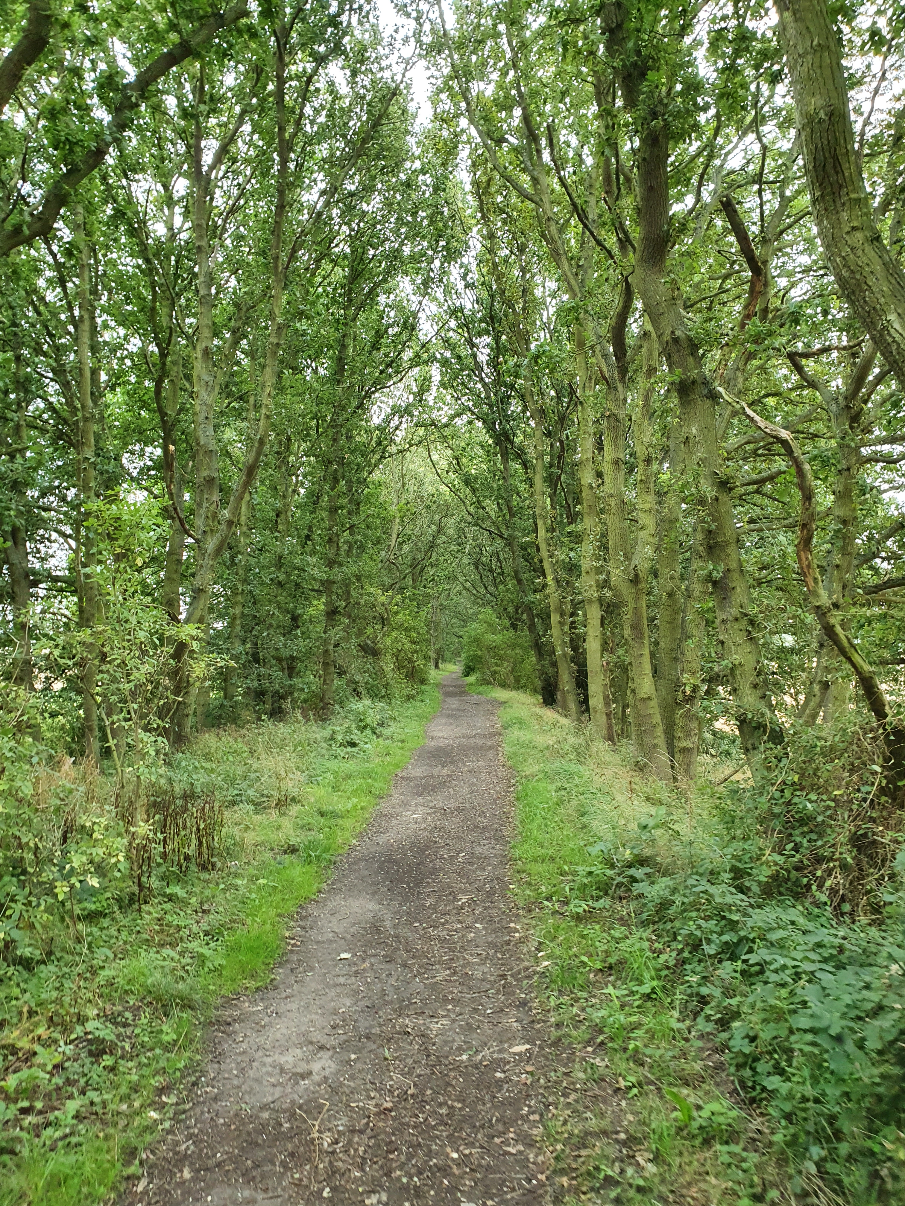
A few metres up, we discovered that it was only a short section of the trail that had been overgrown! The rest was still in perfectly walkable condition! And so we set off, many hours after we had left the house.
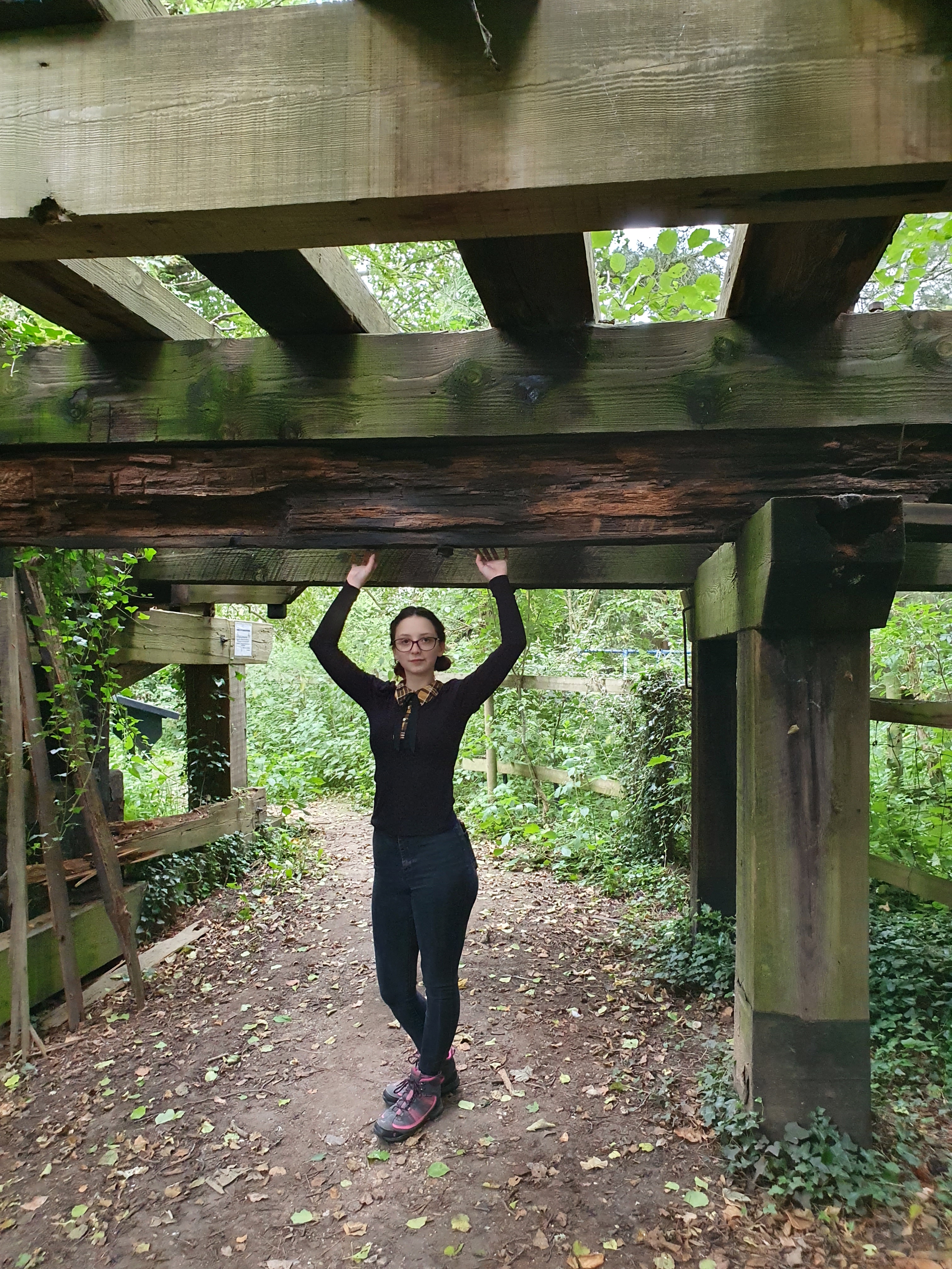
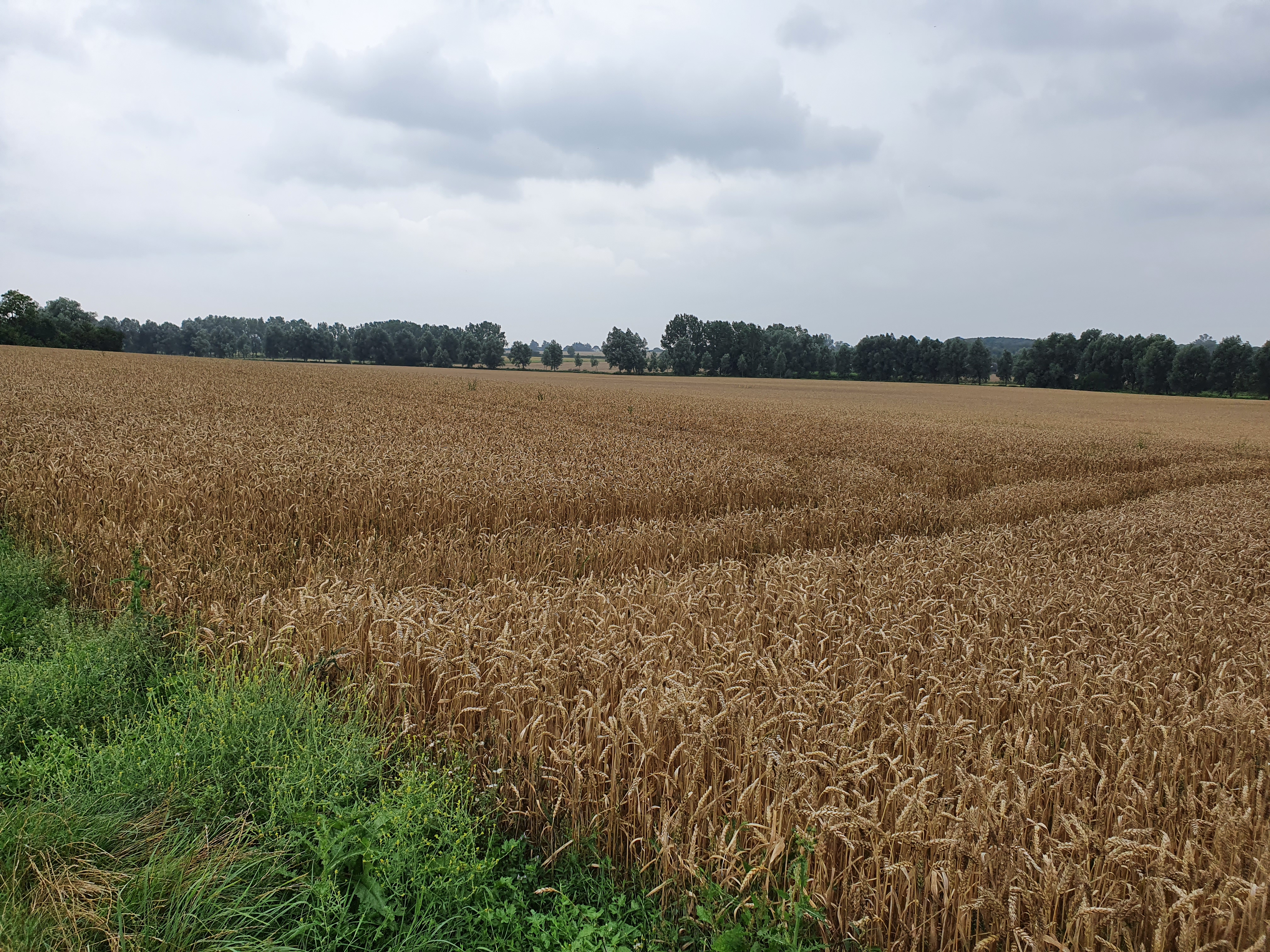
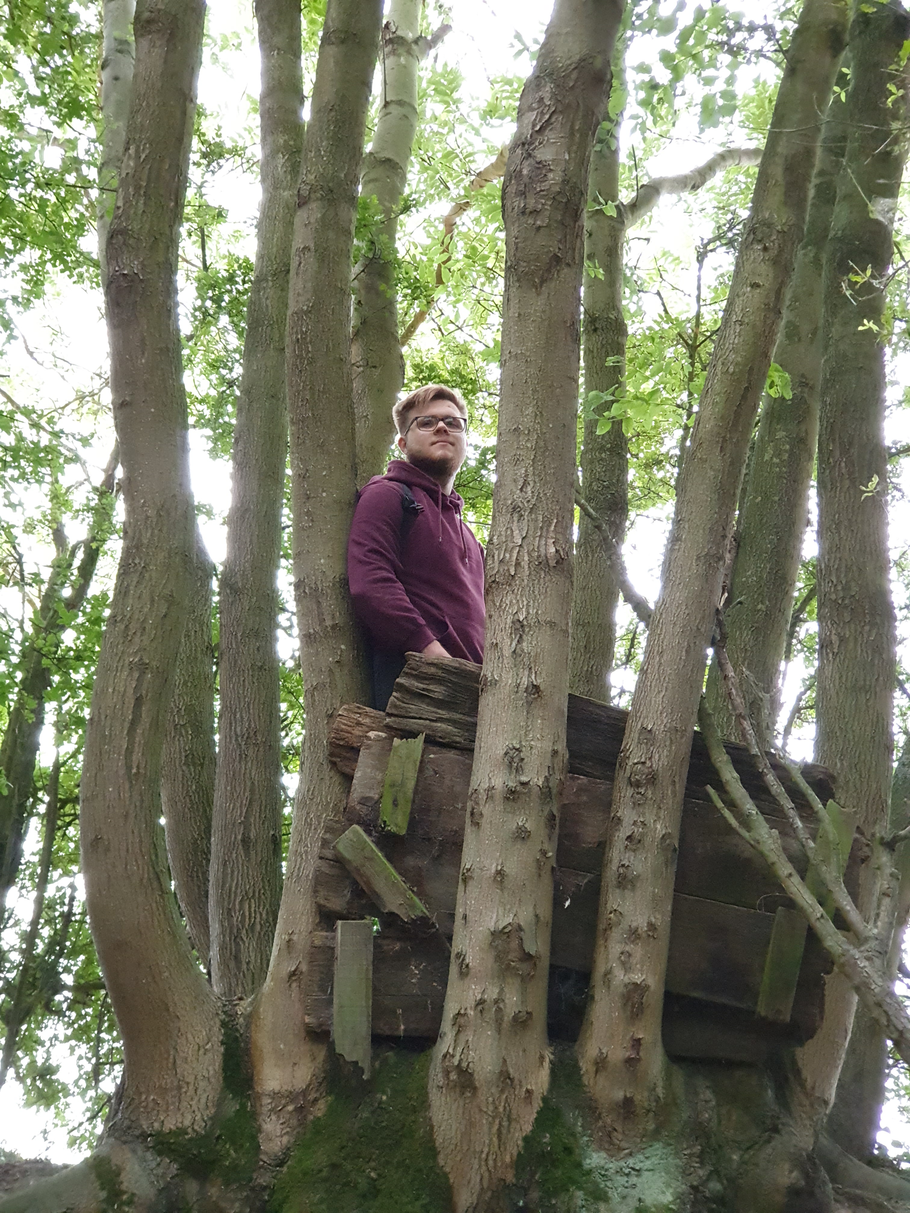
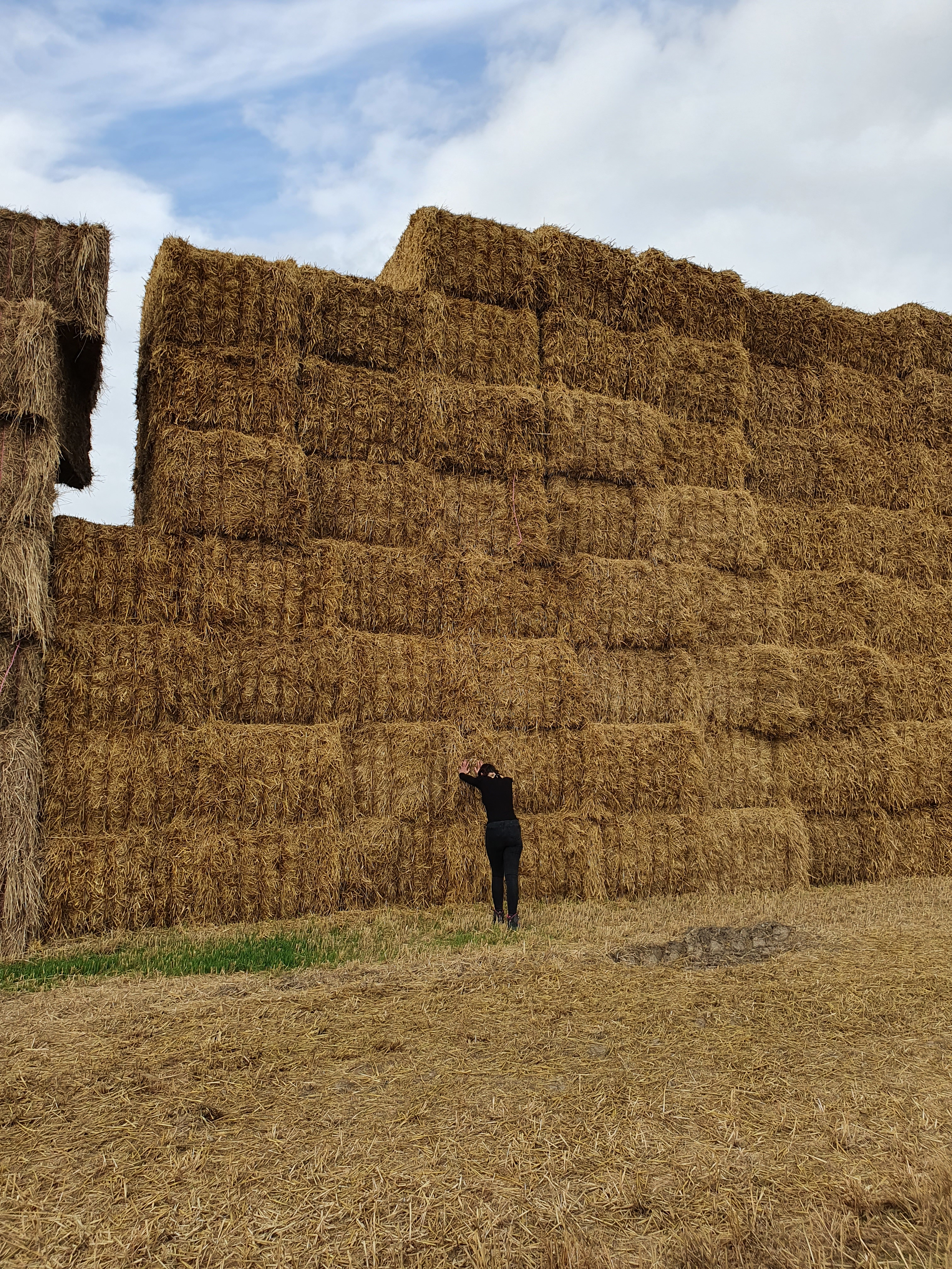
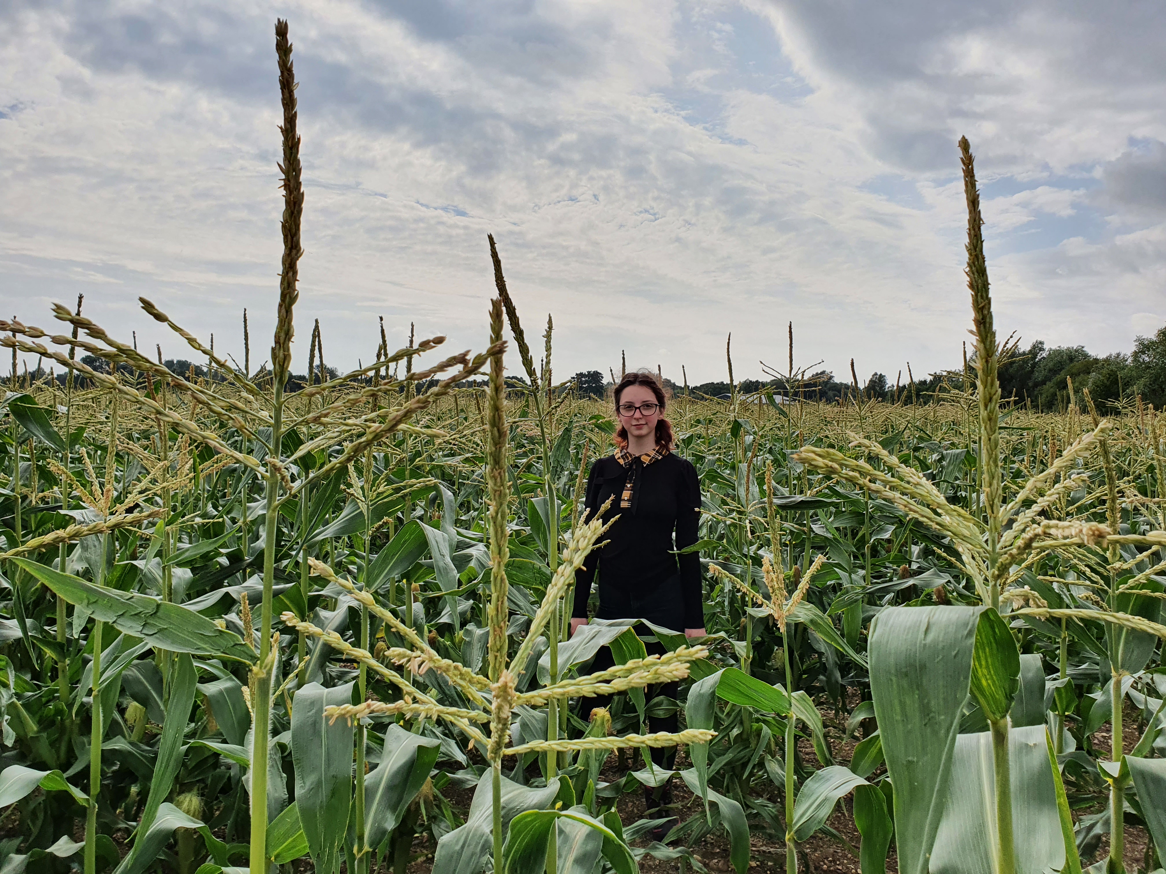
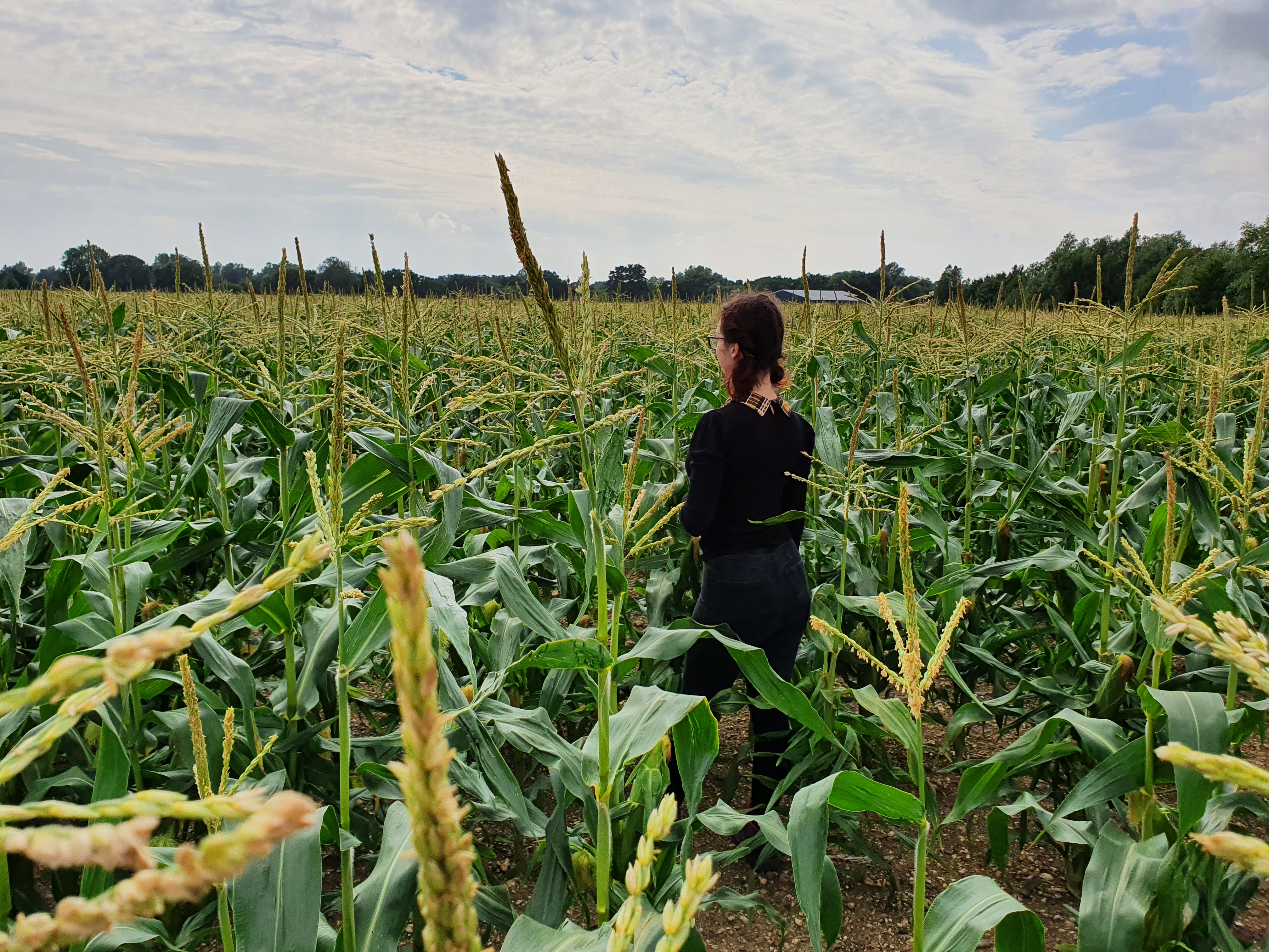
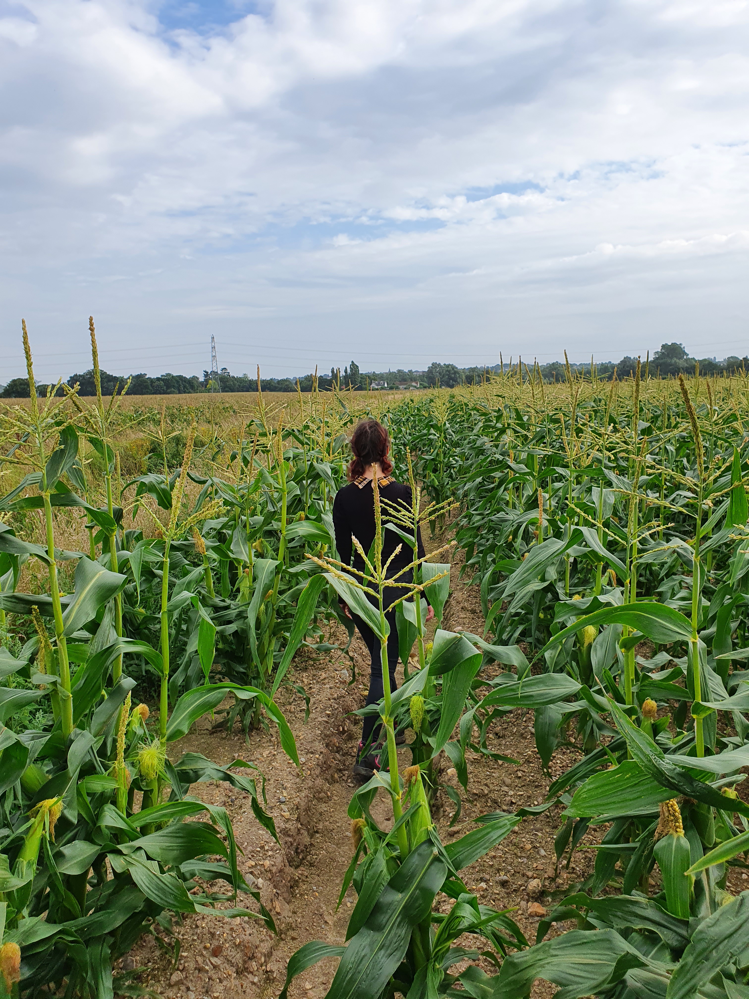
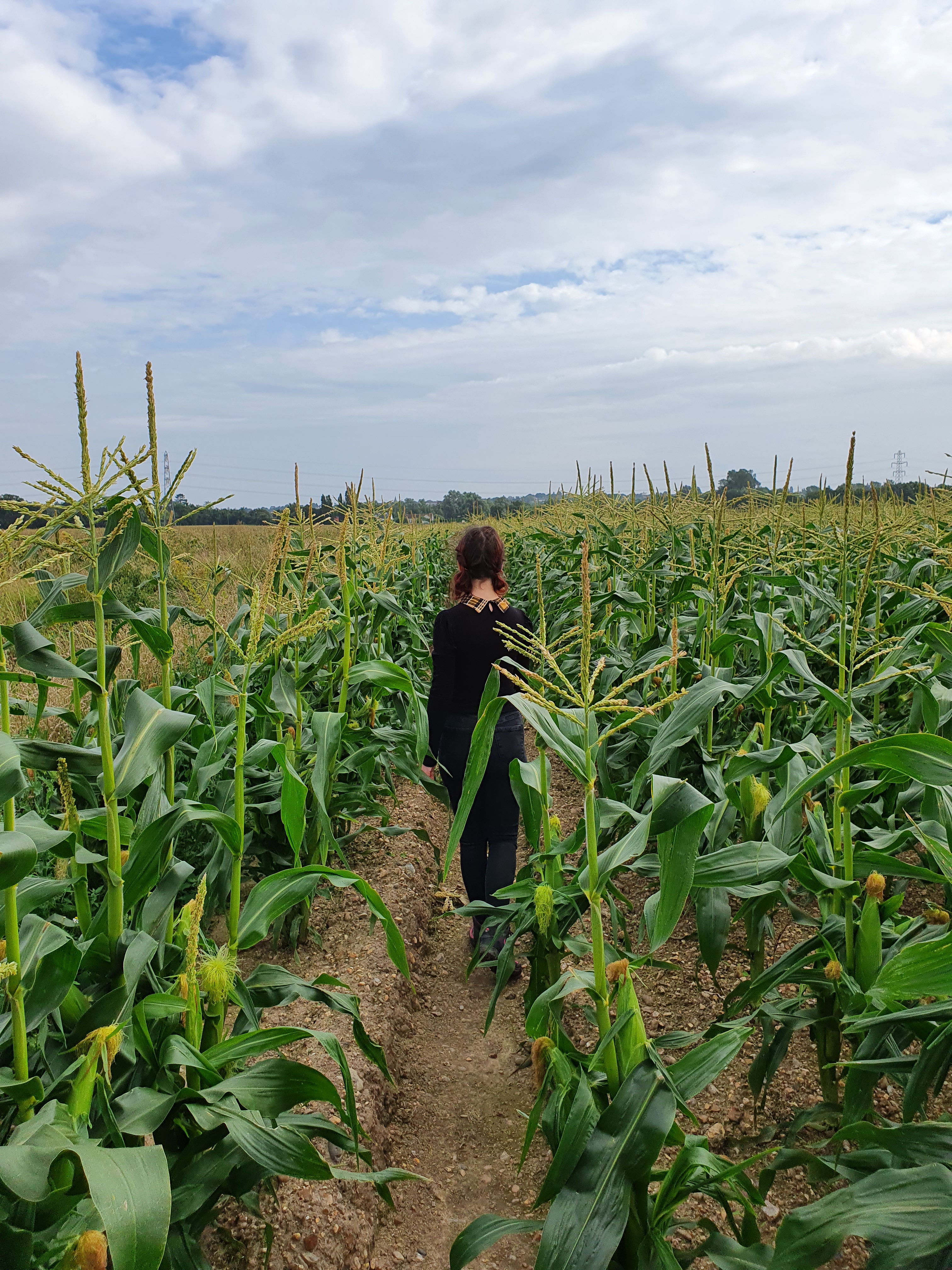
The walk itself isn’t particularly interesting. The terrain is largely flat, and the views are largely the same throughout (though pretty, wheat fields get boring after a while). What was nice, however, was the tidbits of the history of the trail we came across, like discarded pieces of track or some mysterious broken concrete (perhaps the remains of a platform?). We also found some strange wooden structure built around a tree, from what resembled the wooden parts of rail tracks. I thought they might be hunter huts or something like that, though I doubt many wild animals passed through here.
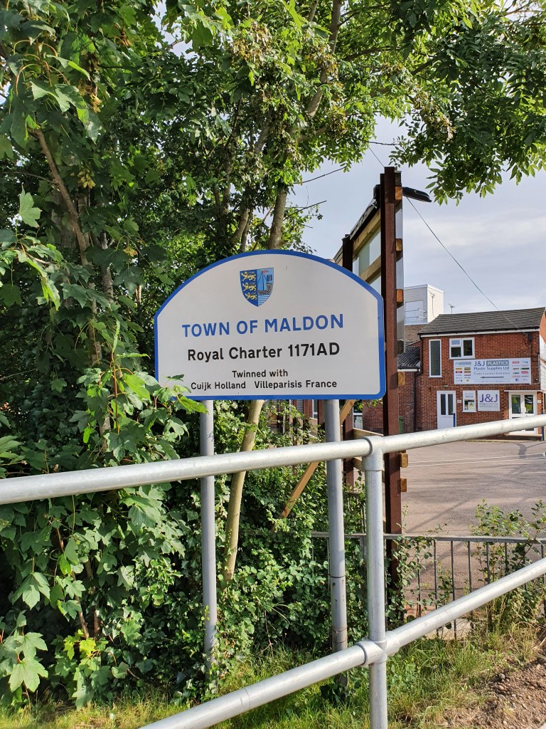
We kept walking till the end, picking up all but 2 caches (technically 3, but the last was a bonus we’d have to double back for) along the way. From there, we followed our navigation app through some farmland, until we reached Heybridge, where we realised that our time was running short. We had to change our route to get to the nearest bus stop instead, for fear of missing the last bus.
We arrived with 15 minutes to spare, so we managed to pick up a church micro by St Andrew’s Church. After that, we called our walk complete, and a success. We got on the bus and made for home.
Details on the route we took can be found here.
